Difference between revisions of "File:Exterior Kansas Azimuthal Projection.png"
(Azimuthal equidistant projection around 40 S 99 E. This is the antipode (within rounding) of the geographic center of the contiguous United States (39°50′N 98°35′W). The projection was generated with [https://www.worldmapgenerator.com/en/wizard/s...) |
|||
| Line 1: | Line 1: | ||
Azimuthal equidistant projection around 40 S 99 E. This is the antipode (within rounding) of the geographic center of the contiguous United States (39°50′N 98°35′W). The projection was generated with [https://www.worldmapgenerator.com/en/wizard/step/projection/?config=eyJpZCI6IkNVU1RPTV9XSVpBUkQiLCJsYXllcklkcyI6WyJDTElQX1BBVEgiLCJHUkFUSUNVTEVTIiwiTEFORCIsIk9DRUFOIiwiQ09VTlRSSUVTIiwiU1BIRVJFIl0sInByb2plY3Rpb25JZCI6IkFaSU1VVEhBTF9FUVVJRElTVEFOVCIsInJlbmRlcmluZ0FkYXB0ZXJJZCI6IkNBTlZBUyIsIm1hcFRoZW1lSWQiOiJCTFVFX1RPTkVTXzEiLCJjZW50ZXIiOlswLDBdLCJyb3RhdGlvbiI6Wy04MSw0MCwwXSwiem9vbSI6MC45LCJ3aXphcmRTdGVwUHJvZ3Jlc3NJZHgiOjkwMDcxOTkyNTQ3NDA5OTEsInZlcnNpb24iOiIxLjAuMCJ9 worldmapgenerator.com] and is licensed CC-BY-SA. | Azimuthal equidistant projection around 40 S 99 E. This is the antipode (within rounding) of the geographic center of the contiguous United States (39°50′N 98°35′W). The projection was generated with [https://www.worldmapgenerator.com/en/wizard/step/projection/?config=eyJpZCI6IkNVU1RPTV9XSVpBUkQiLCJsYXllcklkcyI6WyJDTElQX1BBVEgiLCJHUkFUSUNVTEVTIiwiTEFORCIsIk9DRUFOIiwiQ09VTlRSSUVTIiwiU1BIRVJFIl0sInByb2plY3Rpb25JZCI6IkFaSU1VVEhBTF9FUVVJRElTVEFOVCIsInJlbmRlcmluZ0FkYXB0ZXJJZCI6IkNBTlZBUyIsIm1hcFRoZW1lSWQiOiJCTFVFX1RPTkVTXzEiLCJjZW50ZXIiOlswLDBdLCJyb3RhdGlvbiI6Wy04MSw0MCwwXSwiem9vbSI6MC45LCJ3aXphcmRTdGVwUHJvZ3Jlc3NJZHgiOjkwMDcxOTkyNTQ3NDA5OTEsInZlcnNpb24iOiIxLjAuMCJ9 worldmapgenerator.com] and is licensed CC-BY-SA. | ||
| + | [[Category:Helper comic images]] | ||
Latest revision as of 20:08, 5 December 2025
Azimuthal equidistant projection around 40 S 99 E. This is the antipode (within rounding) of the geographic center of the contiguous United States (39°50′N 98°35′W). The projection was generated with worldmapgenerator.com and is licensed CC-BY-SA.
File history
Click on a date/time to view the file as it appeared at that time.
| Date/Time | Thumbnail | Dimensions | User | Comment | |
|---|---|---|---|---|---|
| current | 07:30, 28 June 2024 | 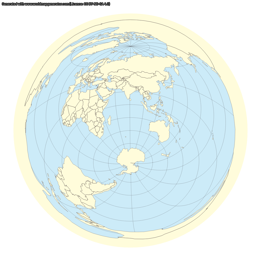 | 1,080 × 1,080 (395 KB) | Quantum7 (talk | contribs) | Azimuthal equidistant projection around 40 S 99 E. This is the antipode (within rounding) of the geographic center of the contiguous United States (39°50′N 98°35′W). The projection was generated with [https://www.worldmapgenerator.com/en/wizard/s... |
- You cannot overwrite this file.
File usage
The following page links to this file:
